Mahere
A trail map that works without a signal
Free. On Android, open the file and allow installs from your browser when asked. On Linux, make the file executable and run it. After that, Mahere updates itself: Settings → Updates.
What It Is
Mahere is a map for hiking, biking and backroads. It keeps every part of the world you've looked at on your phone, so the map is still there when the signal isn't. You can also mark an area and download it before you go. Mahere is Māori for map.
What You Can Do
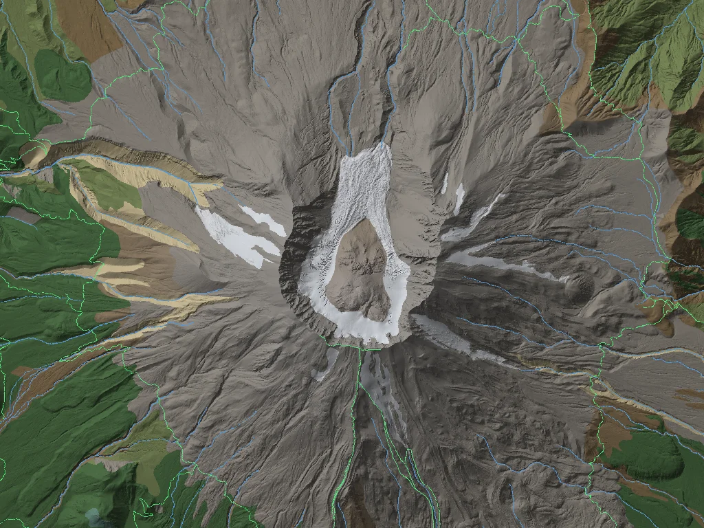
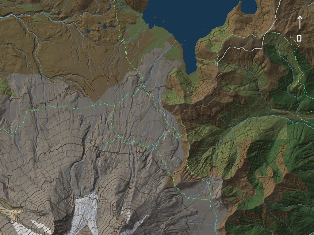
- See the ground. Terrain shaded like a relief model, with contour lines that space themselves to whatever is on screen, and a plain elevation view, black for the lowest ground in view and white for the highest.
- Read the map. Towns, peaks, lakes, rivers, roads and trails are named on the map, and the names follow it smoothly as you pan and turn. Tap anything to hear what it is: the trail and its number, the nearest summit, the lake or park you're in.
- Find your way. Directions by car, by bike or on foot, turn by turn. On foot and by bike the time comes from the real slope of the ground along the way.
- Record your trip. Tracks keep recording with the screen off, gently on the battery: the GPS rests while you're stopped.
- Know your height. The GPS's own height above sea level, next to the map's.
- Switch on what you need. Aerial imagery, land cover, lakes and rivers, roads and trails, boundaries, slope steepness.
- Know whose land it is. Forest Service, BLM, National Park, state, tribal and local land, with wilderness marked where bikes and motors aren't allowed, and which Forest Service roads and trails are open to which vehicles.
- Pick a look. Twenty map styles, each with its own light and lettering, or edit one to your taste.
- Draw on the map. Notes in any colour with a finger or a stylus. Circle an area, save it, download it at the detail you want, and share it as a small file.
- Measure. Tap anywhere for the distance and the elevation profile to it, from you or from the middle of the screen.
- Light it for real. Shade the terrain from where the sun actually is, or from the light around you, seen through the phone's front camera.
Where It Has Detail
The whole planet, land and sea floor, at about 100 m. At 1 m, with aerial imagery: Snoqualmie Pass to Leavenworth in Washington; Seattle and Puget Sound, with the floor of the Sound; and northwest Montana around Flathead Lake, the Mission and Swan ranges and the south edge of Glacier. More areas follow as they're asked for.
Triangles, Not Rectangles
Most maps cut the world into squares on a flat projection, and flattening a globe stretches it: on those maps Greenland looks as big as Africa, which is fourteen times its size. Mahere wraps the Earth in an icosahedron, twenty triangles, and splits each one into smaller triangles all the way down to under a metre. Every triangle is about the same size wherever it sits, so nothing is stretched, and there's no seam at the poles or the date line. A triangle also looks the same in every direction, so a trail running at an angle stays as clean as one running north.
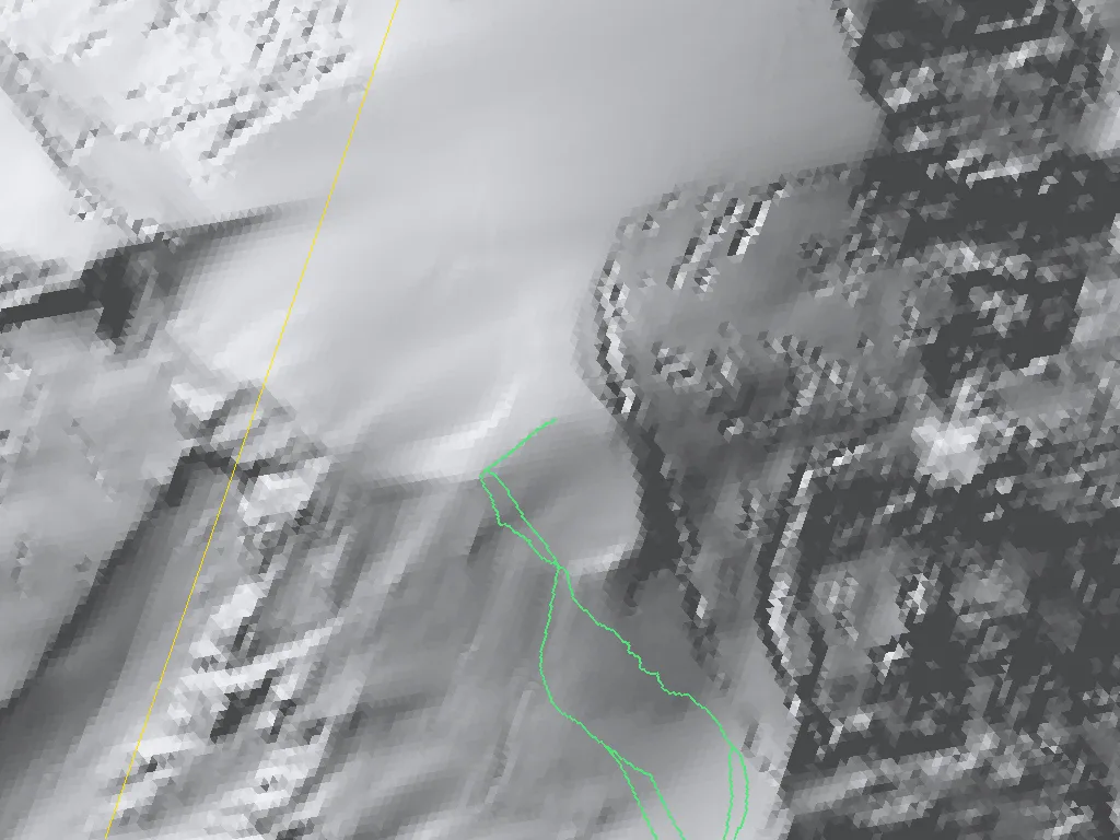
The map stores the ground itself, so plain ground costs almost nothing. A piece of Greenland's ice sheet takes about 6 KB, because the ice is so even; the same size piece of the Australian outback takes about 150 KB. On a flat map Greenland looks bigger than Australia; in Mahere it's a fraction of the download.
Built From Scratch
Written in Rust, with no map library, no web tiles and no server it depends on. The map, your notes and your tracks are stored in VSF, the same format all of these projects use, and the screen is drawn on the phone's graphics chip.
→ View on GitHub → What's new